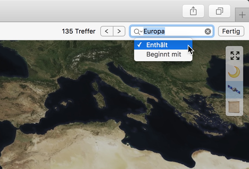
ChronoAtlas is a web portal to access more than 1,200 historical maps dating from 17th to 19th century that have been provided under CC0 by the Leibniz Institut für Länderkunde. Discover new continents and oceans by browsing 62 GByte of scanned maps and 4 MByte of metadata.
The collection consists of historical maps of 17C and 18C. There are city maps, transportation maps, topographical maps, strategic military maps, sea maps, world maps and even astronomical maps of the stars and the moon. About 1.400 maps have been digitised with high quality and released under creative commons zero.
The maps are accompanied with metadata and tagged with a controlled geographic vocabulary. Each map has been rectified with geo coordinates that are used to place the map on it correct location on the globe.


Slides on SpeakerDeck | German edition
The maps by Leibniz Institut für Länderkunde are licensed under Creative Commons Zero.
IIIF Server : Leander Seige, manducus.net
Chronoscope World & Chronoscope Hamburg : Software & Design : Matthias Müller-Prove (c) 2018-2020
The historic time rides provided by the Chrono Research Lab are a free service by Matthias Müller-Prove. On the other hand this means that I do have some expenses on traveling across centuries. You can support this trip by donating a little tip: